

*Zomdo has no business association with Rand McNally
Report an issue with this product or Rand McNally
Description
Author: Rand McNally
Brand: Rand McNally
Features:
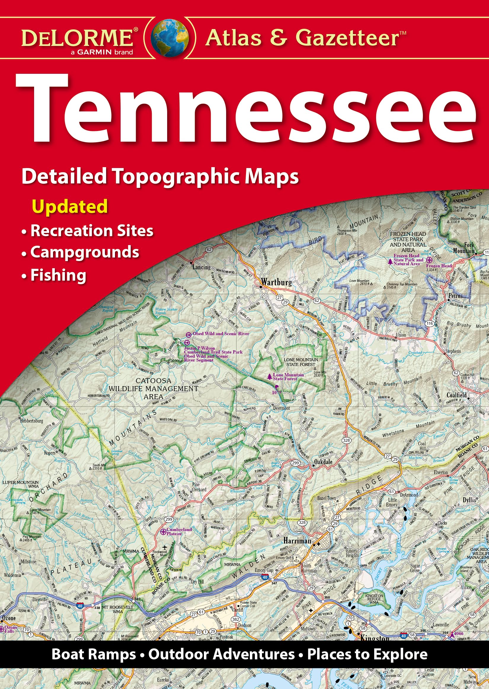
- Full-color topographic maps provide information on everything from cities and towns to historic sites, scenic drives, recreation areas, trailheads, boat ramps and prime fishing spots
- Extensively indexed
- Handy latitude/longitude overlay grid for each map allows you to navigate with GPS
- Inset maps provided for major cities as well as all state lands
Number Of Pages: 81
Details: With an incredible wealth of detail, DeLorme's Atlas & Gazetteer is the perfect companion for exploring the Tennessee outdoors. Extensively indexed, full-color topographic maps provide information on everything from cities and towns to historic sites, scenic drives, trailheads, boat ramps and even prime fishing spots. The Atlas & Gazetteer is your most comprehensive navigational guide to Tennessee's backcountry. - Full-color topographic maps provide information on everything from cities and towns to historic sites, scenic drives, recreation areas, trailheads, boat ramps and prime fishing spots. - Extensively indexed. - Handy latitude/longitude overlay grid for each map allows you to navigate with GPS. - Inset maps provided for major cities as well as all state lands. Product Details: 80 pages; Dimensions: 15.5" x 11".
EAN: 0753759308377
Release Date: 19-05-2023
Package Dimensions: 15.5 x 11.0 x 0.6 inches
Languages: English
Binding: Map
Part Number: 9781946494689
*Zomdo has no business association with Rand McNally
Report an issue with this product or Rand McNally